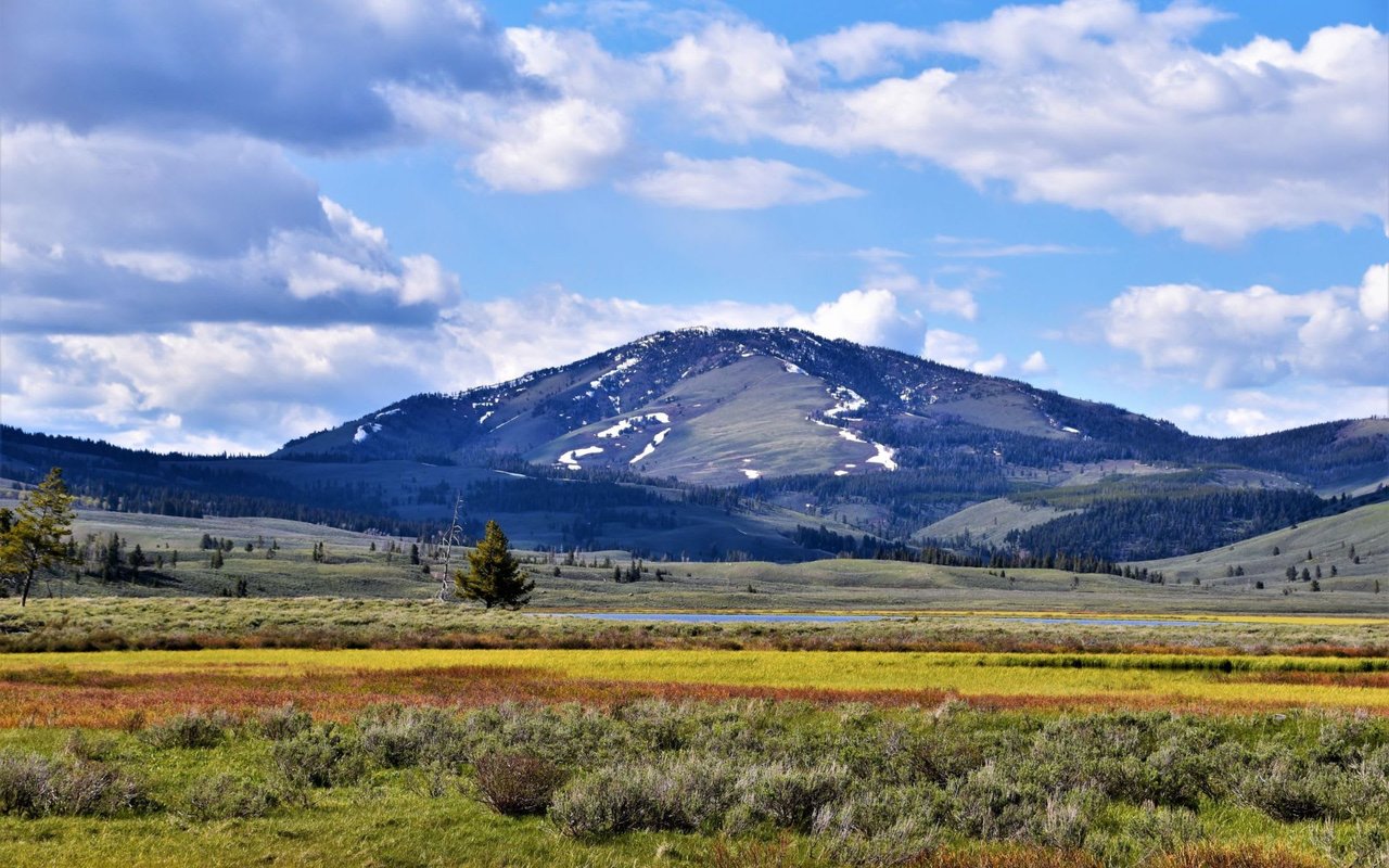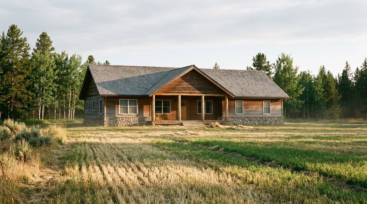
Stand at a shared fence line anywhere between Sheridan and Twin Bridges and you can look at two fields that seem identical. Same rolling grade, same view of the Snowcrest Mountains, same distance to town. One side grows thick, green hay by July. The other side is dry by June unless the rain cooperates. A buyer comparing listings by acreage or by price per acre alone will never see that difference on paper, and it is the single biggest reason two Ruby Valley properties of the same size can carry wildly different price tags.
The gap is not about soil quality or luck. It is about water, and specifically about whether a parcel sits inside the delivery network fed by a reservoir built nearly ninety years ago.
The Four-Times Gap Hiding Behind Every "$/Acre" Number
Montana's most recent statewide land values, tracked by the USDA and summarized in a 2026 land-value guide, show just how far apart irrigated and dryland ground really sit. Irrigated cropland in Montana averaged $4,350 per acre in 2025, up 5.6 percent from the year before. Dryland cropland averaged $1,050 per acre in the same year, and pastureland came in lower still at $920 per acre. Farm real estate overall, blending every land type together, averaged $1,230 per acre statewide.
Those are statewide averages, not Ruby Valley figures specifically, and a non-disclosure state like Montana makes parcel-level price data hard to verify independently. But the ratio matters more than the exact dollar figure. Irrigated ground in this state consistently prices at roughly four times what dryland ground commands, and that multiple shows up because water, not acreage, is doing the work of creating value.
| Land Type | Average Value (Montana, 2025) |
|---|---|
| Irrigated cropland | $4,350/acre |
| Dryland cropland | $1,050/acre |
| Pastureland | $920/acre |
| All farm real estate (blended) | $1,230/acre |
A buyer who sees "40 acres" on two different Ruby Valley listings and assumes they are comparing like to like is skipping the question that actually determines value.
A Reservoir Built In 1938 Still Decides What "Irrigated" Means Here
The reason so much of the Ruby Valley counts as irrigated ground at all traces back to a specific piece of infrastructure. The Ruby Reservoir was authorized by the State Water Conservation Board in 1936 and completed in 1938 at a cost of $600,000. It was built to impound roughly 1,000 acres of water, enough to irrigate 30,000 acres of Ruby Valley farmland, and it still delivers water to hay fields in the valley today.
The river itself has a longer history than the dam. The Bannock band of the Shoshone called it Passamari, meaning water of the cottonwood groves. Miners later called it the Stinking Water, and it was renamed the Ruby River in 1877 for the garnets panned from its waters. From its headwaters in the Snowcrest Mountains, the river runs 41 miles to the reservoir, then continues another 48 miles through the agricultural valley before joining the Beaverhead River, draining a watershed of roughly 935 square miles along the way.
That single piece of 1930s infrastructure is why a parcel three miles from the reservoir's canal system can carry an irrigated designation and full hay production, while a parcel of the same size just outside that delivery network is dryland or grazing ground by default. The reservoir did not irrigate the whole valley. It irrigated the ground it was built to reach, and that footprint still shapes value today.
Who Gets Water When The Ditch Runs Low
Being inside the irrigated footprint is only half the story. The other half is what happens in a dry year, and that is governed by the Ruby River Water Users Association.
The association runs a voluntary drought management plan that aims to keep at least 20 cubic feet per second flowing in all sections of the river at all times, according to Montana Fish, Wildlife and Parks' statewide fisheries management plan. That is well below the state's own year-round instream flow reservation of 40 cfs, and the gap gets closed through voluntary cooperation. When flows drop, water users reduce their individual and collective diversions rather than waiting for a regulatory order, coordinated through close communication between irrigators and the dam manager.
This matters to a buyer because two irrigated parcels are not automatically equal. A water right with an older priority date holds seniority over a junior right when the river runs short, and in a valley where irrigators are voluntarily managing scarcity together, seniority is not an abstraction. It is the difference between a full ditch in August and a curtailed one. Any buyer evaluating irrigated ground in the Ruby Valley should ask for the priority date on the water right, not just confirmation that irrigation exists.
Riverfront Adds A Different Kind Of Friction
Parcels that touch the Ruby River itself carry a separate consideration that interior hay ground does not: public access.
Montana has strong stream access laws, and a 2016 case out of this exact stretch of river illustrates how they get tested. An out-of-state landowner spent 15 years contesting public access at the Seyler Road bridge crossing near Twin Bridges, arguing he owned the land up to the bridge. Lower courts initially agreed, but the Montana Supreme Court ultimately ruled that a public road crossing a public waterway creates public access. Two Sheridan residents, Howard Chrest and Mark Savinski, working with the Concerned Sportsmen of Madison County, had spent years documenting the case for the access point, at one point measuring the county right-of-way with a tape measure to show a fence had encroached on public ground. As Savinski put it at the time, "Montana has some of the best stream access laws in the nation."
For a buyer, this means riverfront parcels near established or prescriptive road crossings may come with public access nearby that an interior hay field never has to consider. It is not a defect, and Montana's access law is well settled at this point, but it is a factor that changes the privacy calculation for a riverfront listing in a way that irrigated interior ground simply does not encounter.
What To Ask Before You Compare Two Listings
Before treating any Ruby Valley acreage figure as comparable to another, a buyer should get clear answers to a short list of questions:
- Is the ground inside the Ruby Reservoir's irrigation delivery network, or is it dryland or grazing land by default?
- What is the priority date on the water right, and how has it performed in recent dry years under the Water Users Association's voluntary plan?
- Is the irrigation method flood, wheel-line, or pivot, and does that match the buyer's intended use?
- If the parcel touches the river, is there a public road crossing, bridge, or prescriptive right-of-way nearby that could bring public access close to the property line?
- Are the water rights being conveyed with the sale, or reserved by the seller for use elsewhere?
None of these questions show up in a standard listing description. All of them show up in the eventual title work, and a buyer who asks early avoids a late surprise.
A Few Quick Answers
Does "irrigated" on a listing always mean the Ruby Reservoir supplies the water? Not necessarily. Some ground is irrigated from wells, springs, or smaller ditches unrelated to the reservoir system. The reservoir's footprint covers a defined delivery area, and ground outside that area can still carry a separate irrigation source with its own priority date and reliability record.
Why does a senior water right matter more in a drought year than in a wet one? Because the Ruby River Water Users Association's plan asks junior users to cut back first when flows approach the 20 cfs threshold. In a normal year the distinction barely matters. In a dry year, it can determine whether a hay crop comes in at all.
Water access, not acreage, is what separates a Ruby Valley listing that looks good on paper from one that performs the way a buyer expects. If you are comparing properties in this valley and want help reading what a listing's price per acre is actually telling you, Dawn Myrvik can walk through the water rights, irrigation history, and access questions specific to the parcel you're considering.